Construction Laser Scanning

Captures all details of an existing building or a construction site.

Data-rich 3D Laser scanning Services For Construction

Construction 3D laser scanning is a technology that uses laser scanners to capture highly accurate and detailed data of a construction site. The laser scanner emits a laser beam that measures distances and captures millions of data points, creating a highly detailed point cloud of the site. The point cloud data can then be used to create 3D models, maps, and drawings that provide a highly accurate representation of the site’s existing conditions.

It can be used throughout the construction project lifecycle, from the initial planning stages to the final construction and maintenance phases. Here are some common use cases for construction 3D laser scanning: Site analysis and surveying, Design and planning, Quality control and inspection, Project management, Maintenance and renovation.

Small building
Start utilizing construction laser scanning in your projects

For accurate and detailed measurement and building documentation 

building construction with 3D laser scanning solutions

Renovation & Retrofits

To upgrade building systems and technology efficiency

Clash Detection

To identify clashes between multi-trade models

New Construction Verification

Inspection, approval and documentation

Planning for Facility Upgrades

To maintain service standards for building occupants

Prefabrication

Assemblies that are manufactured under factory conditions

Construction Coordination

For scheduling and sequencing of projects

Historical Documentation

Information related to the significance of a property

Sequencing, Scheduling & Simulation

3D digital model with time or schedule related information.

Construction 3D Laser Scanning Process

The 3D laser scanning process involves several steps to capture highly accurate and detailed data of a site. 

Here are the typical steps involved in the 3D laser scanning process:

1. Planning and Preparation

The first step in the 3D laser scanning process is planning and preparation. This includes identifying the site to be scanned, determining the scanning equipment and methodology, and preparing the site for scanning.

2. Scanning

The next step is to set up the laser scanner and begin scanning the site. The scanner emits a laser beam that measures distances and captures millions of data points, creating a highly detailed point cloud of the site.

3. Registration

After scanning, the point cloud data is typically processed and registered to align the data from multiple scan positions and create a unified 3D model of the site.

4. Post Processing

The point cloud data is then typically cleaned up and processed to remove any unwanted data, such as noise and artifacts, and to create a more accurate representation of the site.

5. Analysis and Modeling

The processed point cloud data can then be used to create 3D models, maps, and drawings of the site, which can be used for a variety of purposes, including design, planning, and construction.

6. Deliverables

Finally, the 3D models, maps, and drawings are typically delivered to the client in the desired format, such as CAD or BIM, for use in their project.

Building Laser Scan Survey

Cost-Effective Benefits of Construction Laser Scanning

  • Increased accuracy and precision of site data
  • Improved project efficiency, saving time and cost
  • Early identification of potential issues and conflicts
  • Enhanced safety through detailed information on hazardous areas and potential risks
  • Better communication and collaboration among project stakeholders
  • Detailed information for design and planning decisions
  • Verification of as-built conditions
  • Creation of highly accurate 3D models, maps, and drawings
  • Improved project management with up-to-date and accurate site information.
0 +
Complete BIM Projects
3D Laser scanning of Building

Our Projects

Get started with laser scanning for your construction project today

Consult with our expert 3D laser scanning technicians for accurate building documentation.

Top BIM Company & Solutions

Frequently Asked Questions (FAQ)

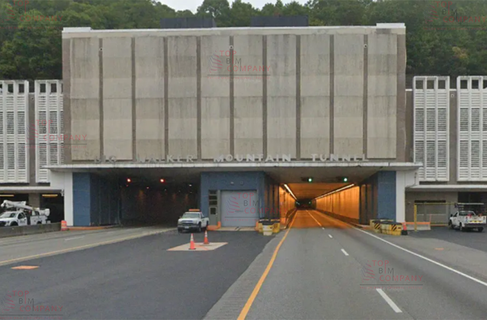
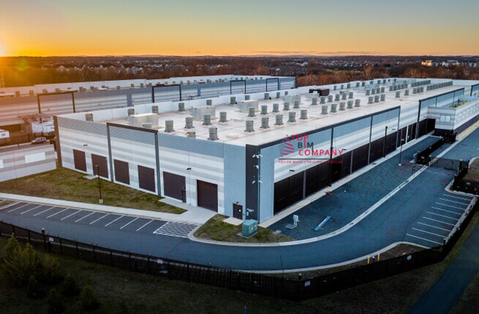
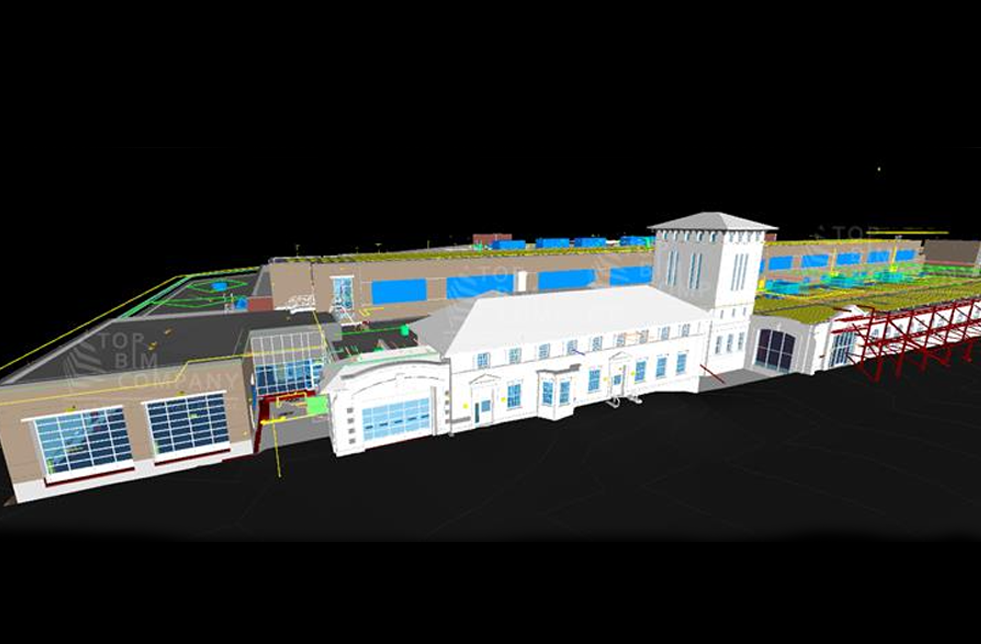
Construction laser scanning services are a type of surveying service that uses laser scanners to capture highly detailed and accurate measurements of buildings, structures, and landscapes. These measurements are then used to create 3D models and maps, which can be used for various purposes such as construction planning, structural analysis, and quality control.

Traditional surveying methods typically involve manually measuring points on a site using tools such as tape measures and theodolites. This can be time-consuming and prone to errors. In contrast, laser scanning services use specialized equipment to capture large amounts of data quickly and accurately. This data can then be processed using software to create detailed 3D models and maps.

There are several benefits to using construction laser scanning services. First, they can save time and money by reducing the need for manual measurements and allowing for more accurate planning and construction. Second, they can improve safety by reducing the need for workers to climb scaffolding or work in dangerous areas. Finally, they can provide highly detailed and accurate data that can be used for a variety of purposes, such as construction planning, quality control, and structural analysis.

When choosing a construction laser scanning service provider, it is important to consider their experience, expertise, and equipment. Look for a provider with a track record of successful projects and satisfied clients, and who uses the latest and most advanced laser scanning equipment. It is also important to consider their pricing and availability, and to make sure they have the necessary licenses and certifications to perform the work.

Get a Free Quote

    Get a Free Estimation for your Project
    Please fill up the form to discuss your detailed project requirements and building design needs and we will get back to you soon.